Our Story & Purpose
Quantifying the hydraulic resistance limits of forests on the southern edge of the Amazon.
Scientific motivation
The Amazon rainforest, covering approximately 5.5 million square kilometers, is the most biodiverse forest ecosystem on the planet. It absorbs up to a tenth of global CO₂ emissions and sustains continental-scale precipitation through strong interactions between the land surface and the atmosphere. However, the region is under increasing pressure from deforestation and climate change. There are growing concerns that the intensification of these stresses could trigger a tipping point: a large-scale collapse of the Amazon rainforest’s functioning, associated with widespread tree mortality, with no possibility of returning to its original condition.
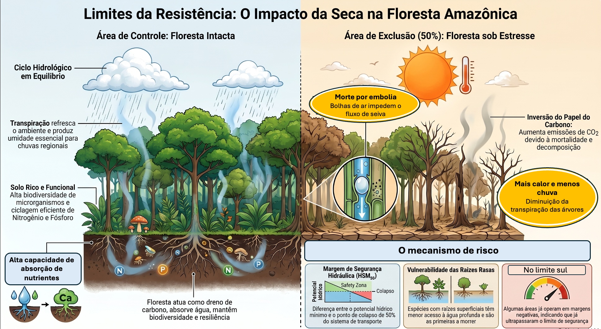
More frequent, prolonged, and intense droughts can compromise the transport of water from the roots to the leaves, affecting the growth and survival of trees. The Seca Limite Project investigates to what extent Amazonian trees can resist a prolonged reduction in water availability. More specifically, the project seeks to understand the thresholds of hydraulic conductivity loss that lead to tree mortality.
The southern edge of the Amazon
The forests of the southern Amazon are located at
the climatic limits of the biome, where dry seasons are the longest and maximum air
temperatures are the highest in the Basin. This region is also subject to increasing climate
stress, as land surface temperatures are rising faster here than in other parts of the
Amazon, and evidence of the increasing length of the dry season is clearer and more
pronounced than elsewhere.
Another evident impact in the southern Amazon region is
the advance of the agricultural frontier, which has resulted in the replacement of hundreds
of thousands of hectares of forest with an agricultural monoculture and extensive livestock
farming. As a result, this region is already operating close to its climatic limits and is
being progressively pushed beyond them, making it the Amazonian region most likely to reach
a tipping point. Thus, the southern Amazon represents a critical region for
understanding the sensitivity of forests to global environmental changes, including the
effects of land-use changes and climate change.
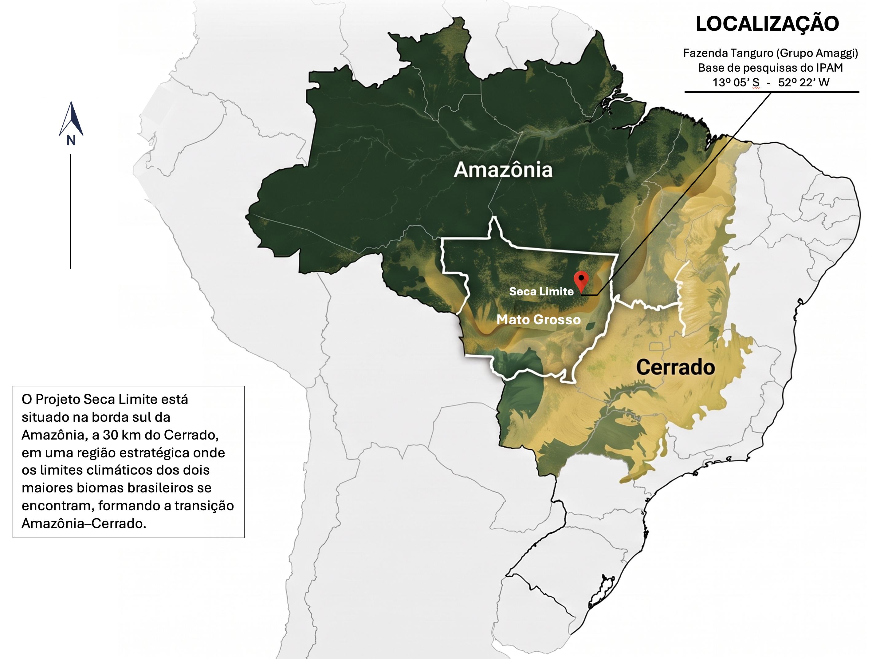
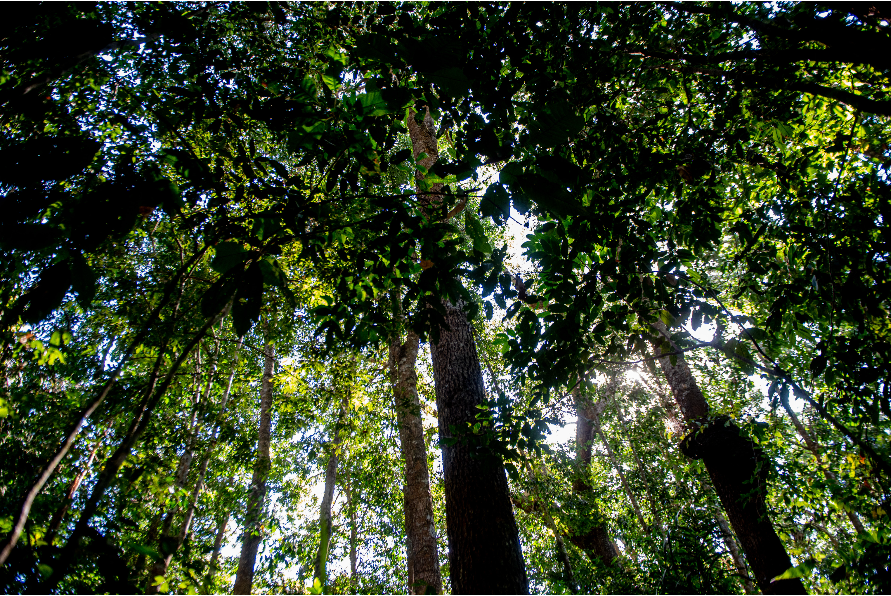
Foto: Jacqueline Lisboa, WWF
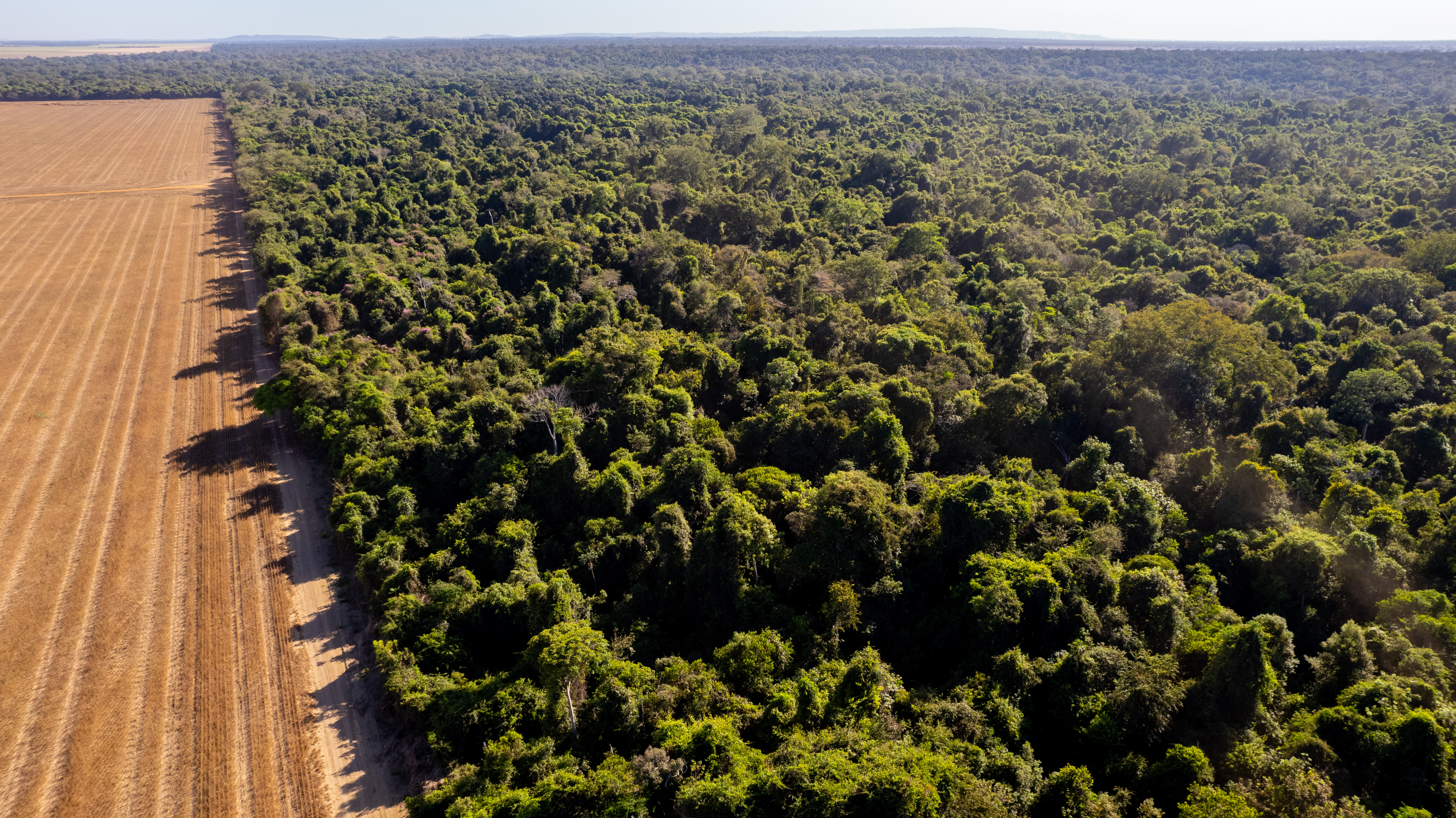
Foto: Jacqueline Lisboa, WWF
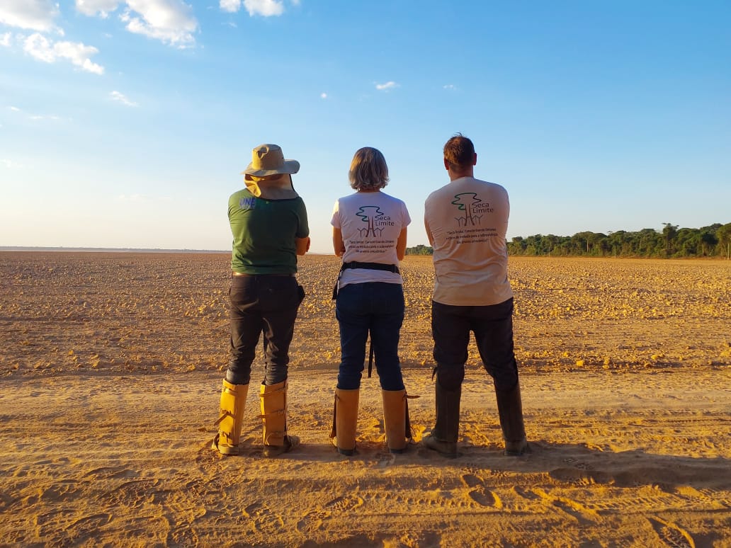
Foto: Jacqueline Lisboa, WWF
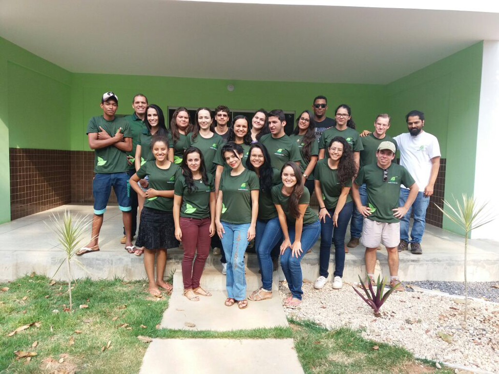
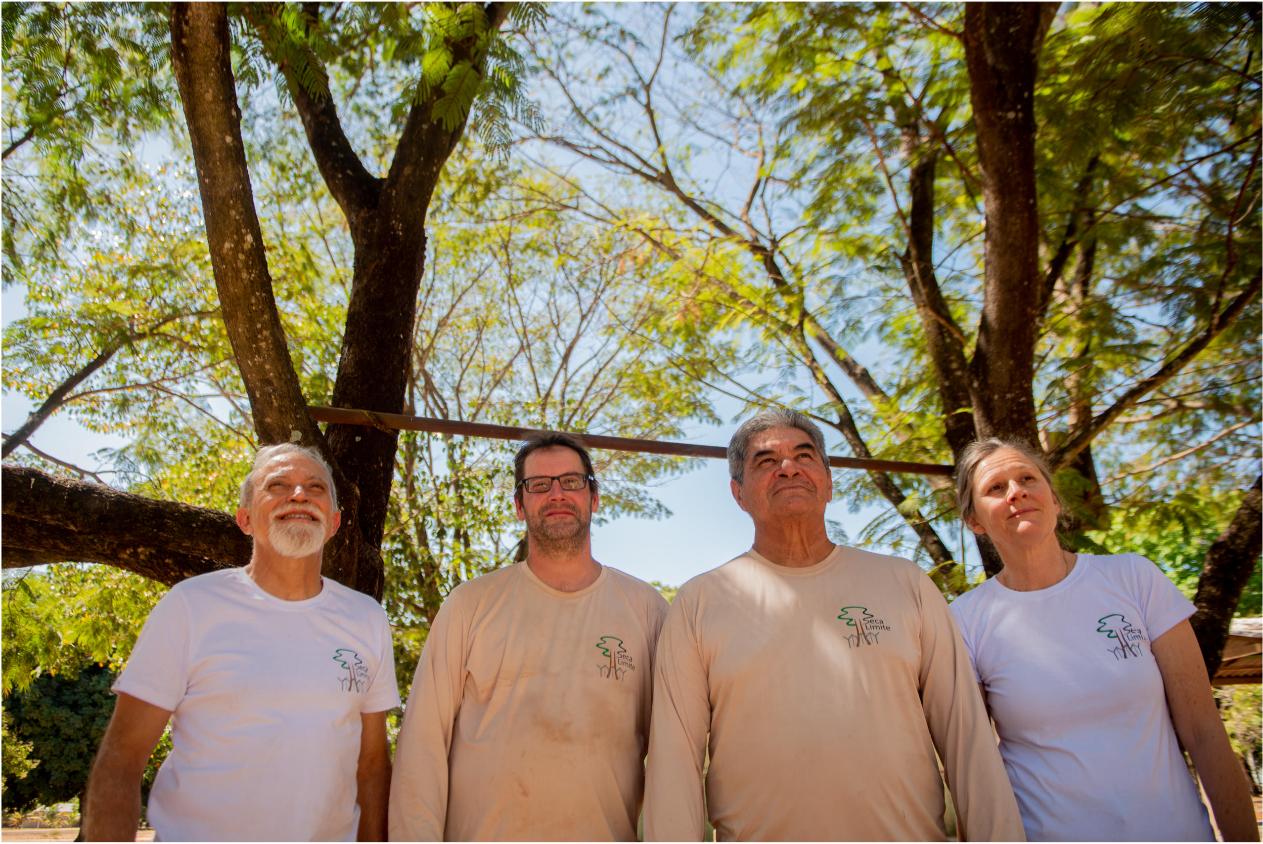
Foto: Jacqueline Lisboa, WWF
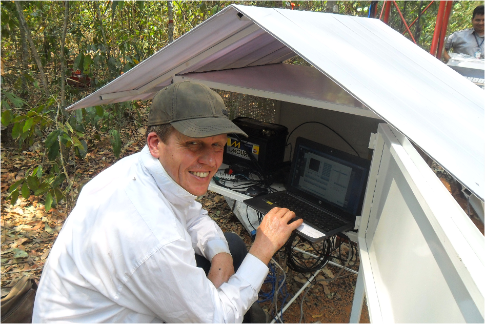
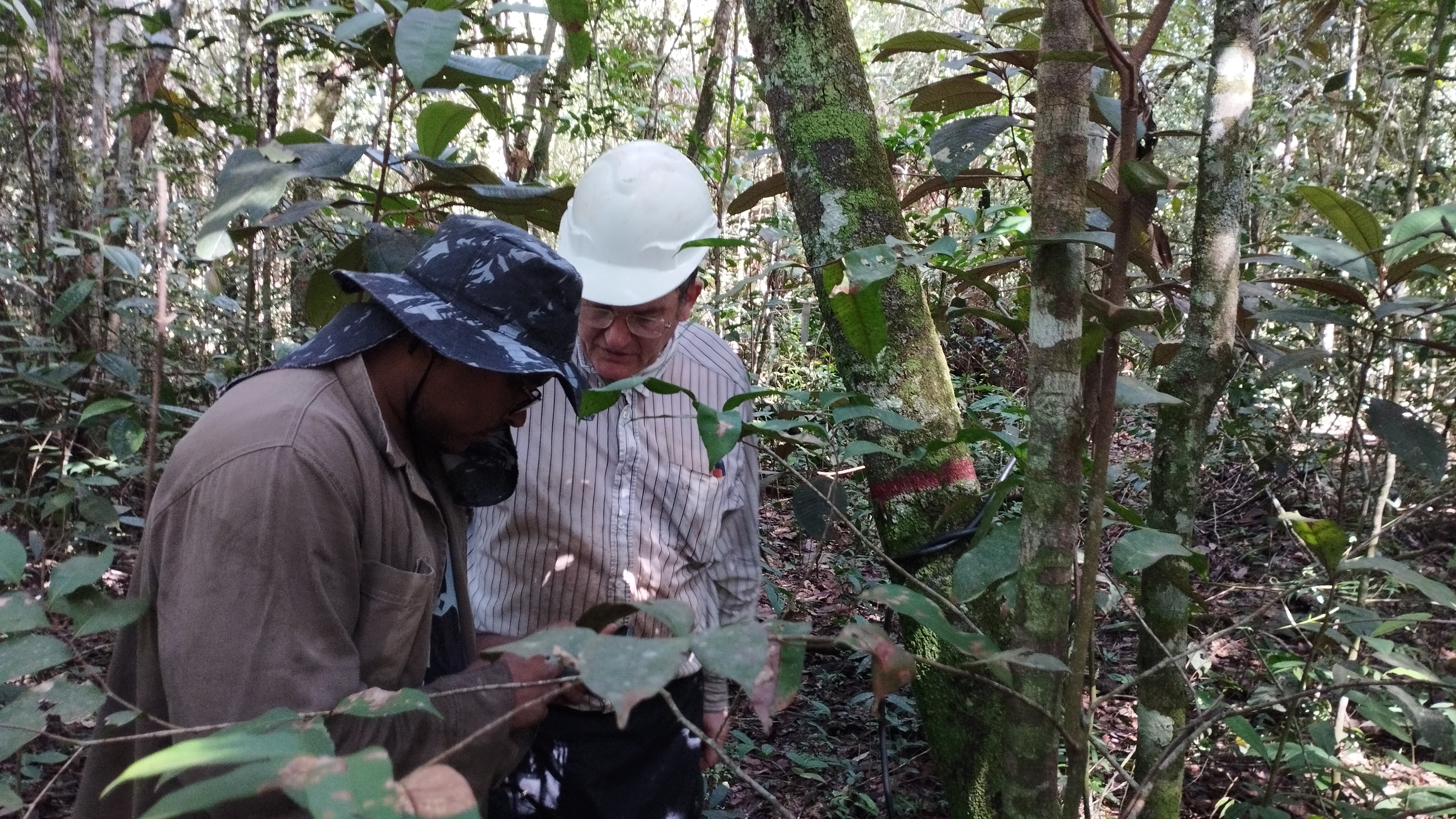
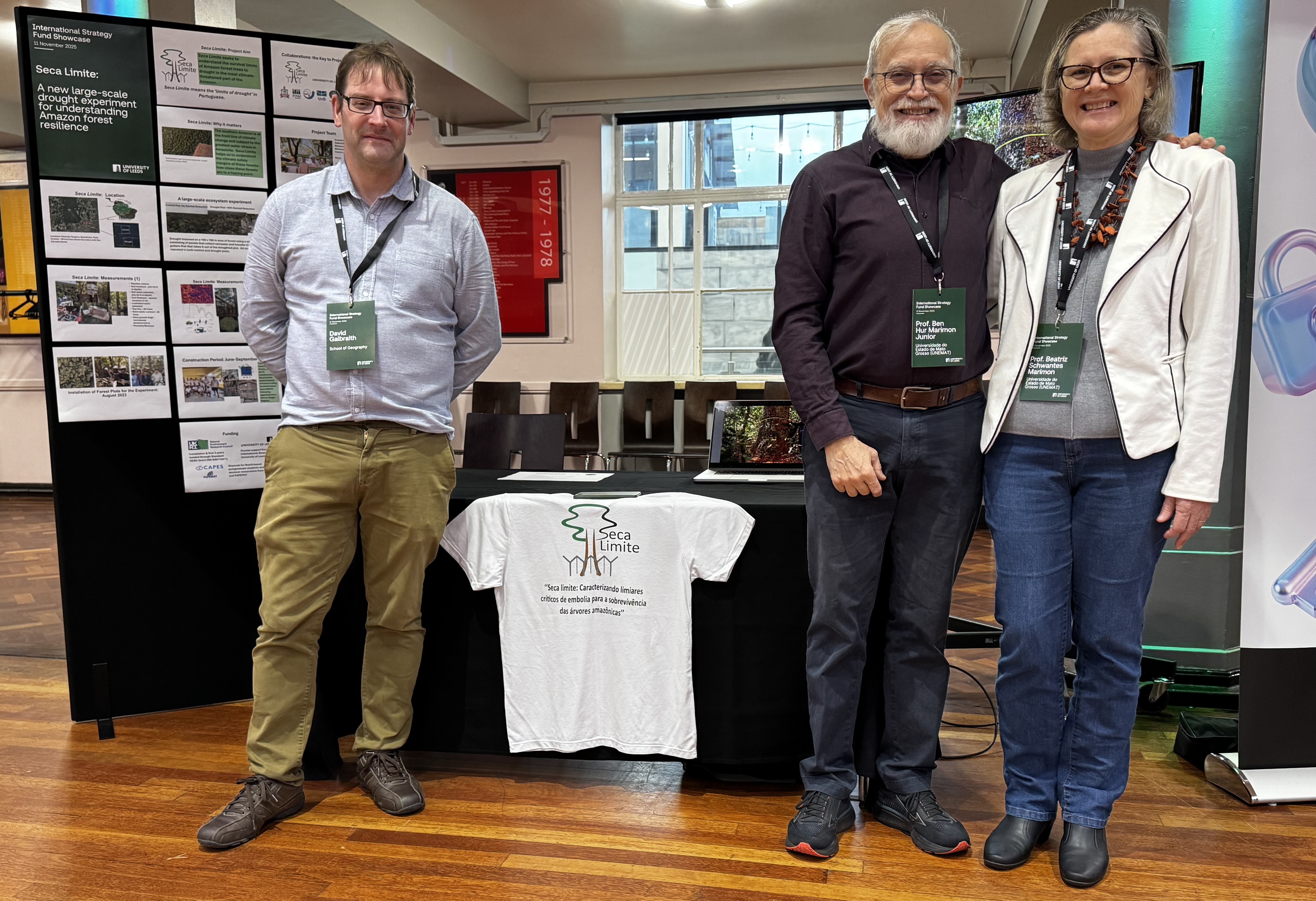
Partnership between UNEMAT and the University of Leeds (UK)
The partnership began in 2008 and has consolidated
itself as one of UNEMAT’s most important international collaborations in the field of
tropical forest ecology. The UNEMAT Leeds collaboration has resulted in the
joint execution of several research projects, the publication of around a hundred scientific
articles, and the training of dozens of Brazilian and British students and researchers.
This international cooperation played a decisive role in strengthening the
ecological research developed by UNEMAT, contributing to expanding its insertion into global
scientific networks and consolidating the institutional capacity necessary to train human
resources at the doctoral level. Thus, the UNEMAT–Leeds
cooperation represents a successful example of scientific internationalization aimed at
understanding and protecting tropical forests in a scenario of accelerated environmental
change.
From the Amazon to the Amazon
Research led by scientists from the University of
Leeds (England), and the State University of Mato Grosso (UNEMAT) has revealed the magnitude
of climatic and ecological pressures on southern Amazonian forests, showing,
for example, that its trees have high mortality rates and currently experience elevated
levels of water and temperature stress. However, despite all the academic and scientific
progress, the vast majority of prominent studies and governmental decisions regarding the
biodiversity, use, and occupation of the southern edge of the Amazon are concentrated among
foreign researchers or Brazilians from other regions.
Brazil's continental dimensions
produce significant asymmetries between opportunities and access to quality education for
young scientists. What we see today is that, despite the presence of universities and
graduate programs in the Amazon, decisions about the future of the Amazon are concentrated
in people who do not live in the region. The Seca Limite project aims to break with this
model and ensure that Brazilian and foreign scientists participate in the research, but that
decisions regarding the use and conservation of the Amazon are led by scientists from the
region.
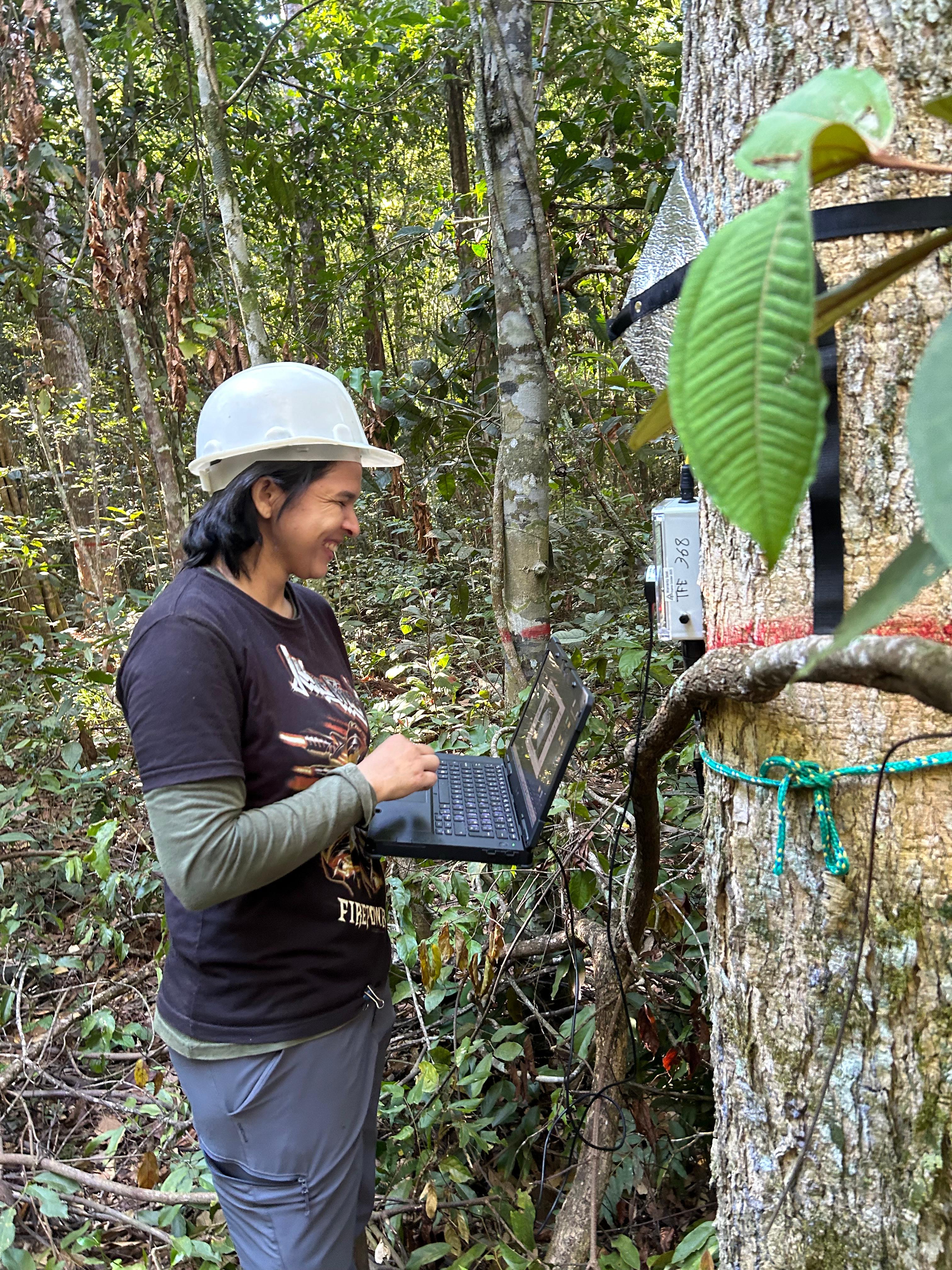
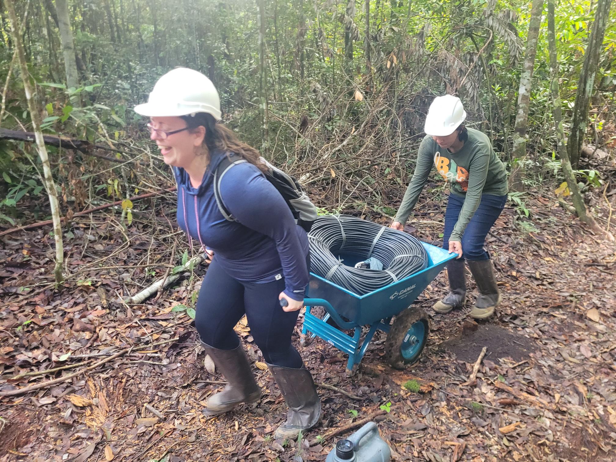
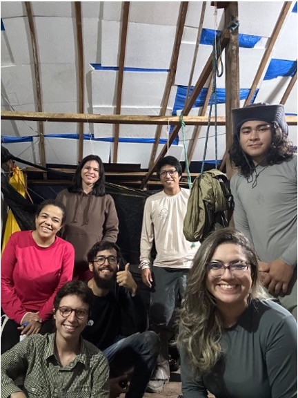
Foto: Jacqueline Lisboa, WWF
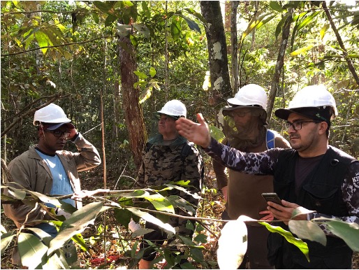
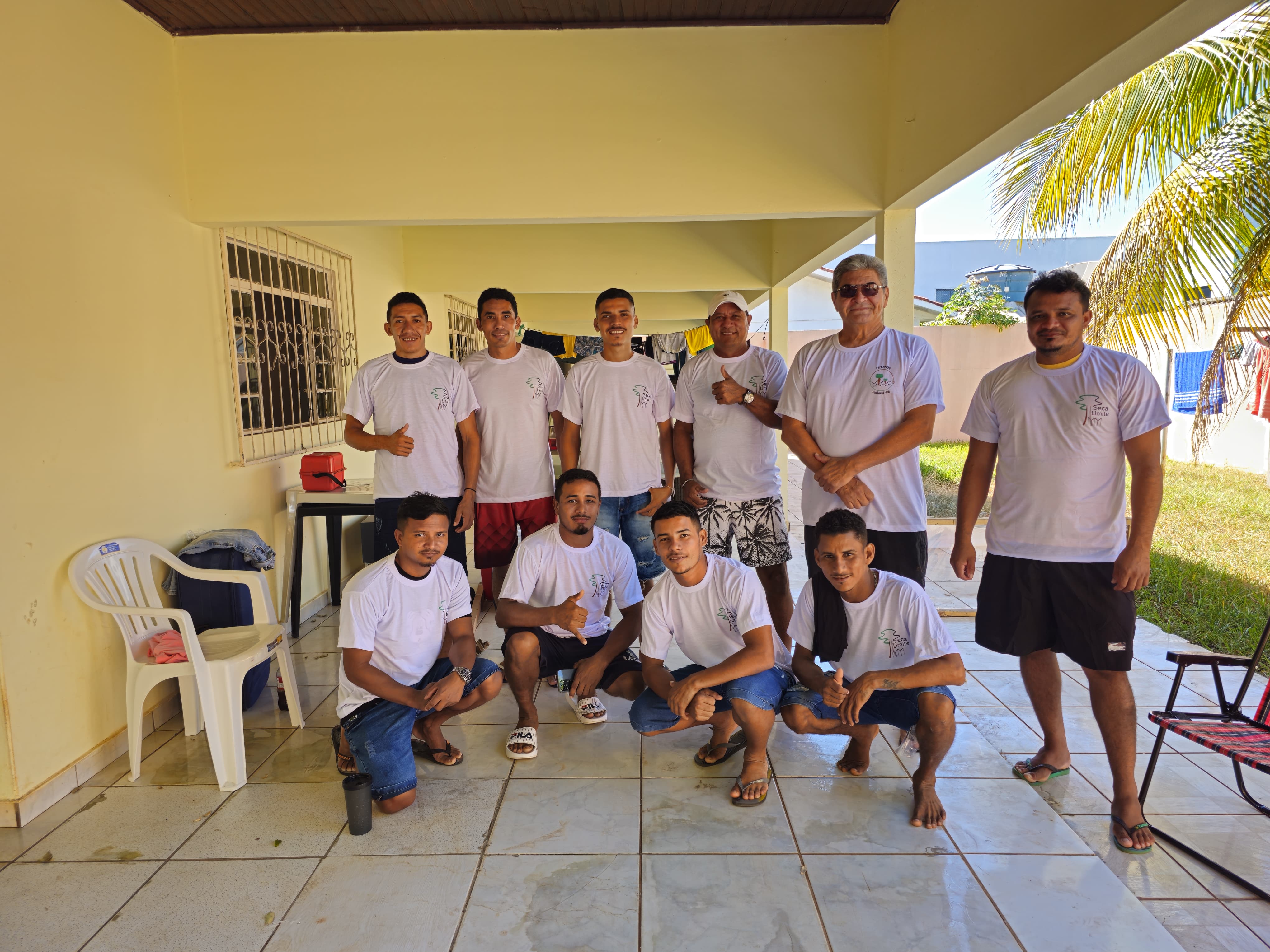
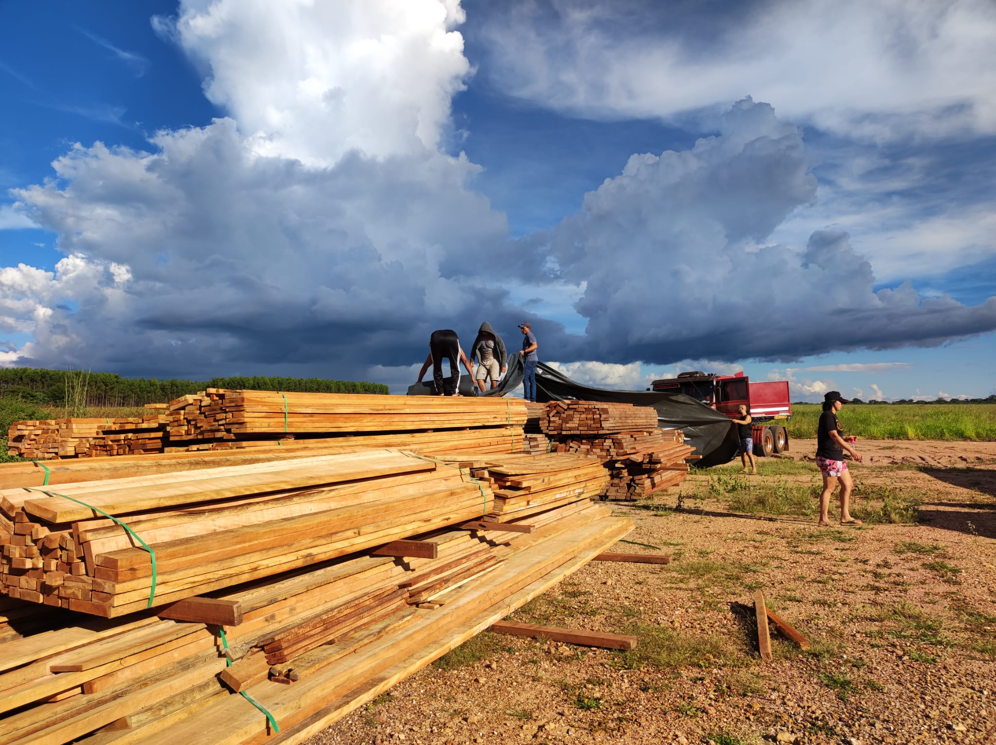
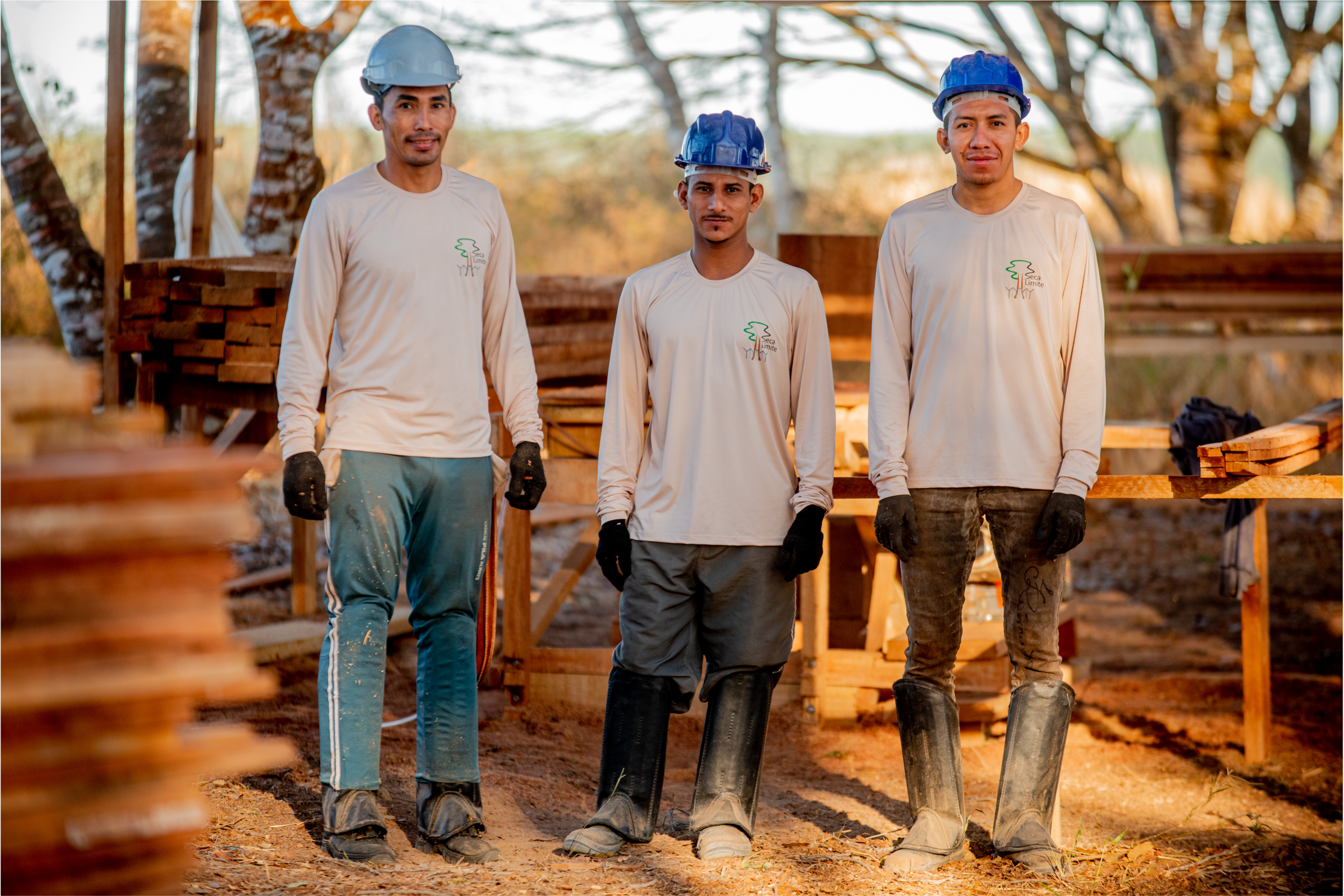
Foto: Jacqueline Lisboa, WWF
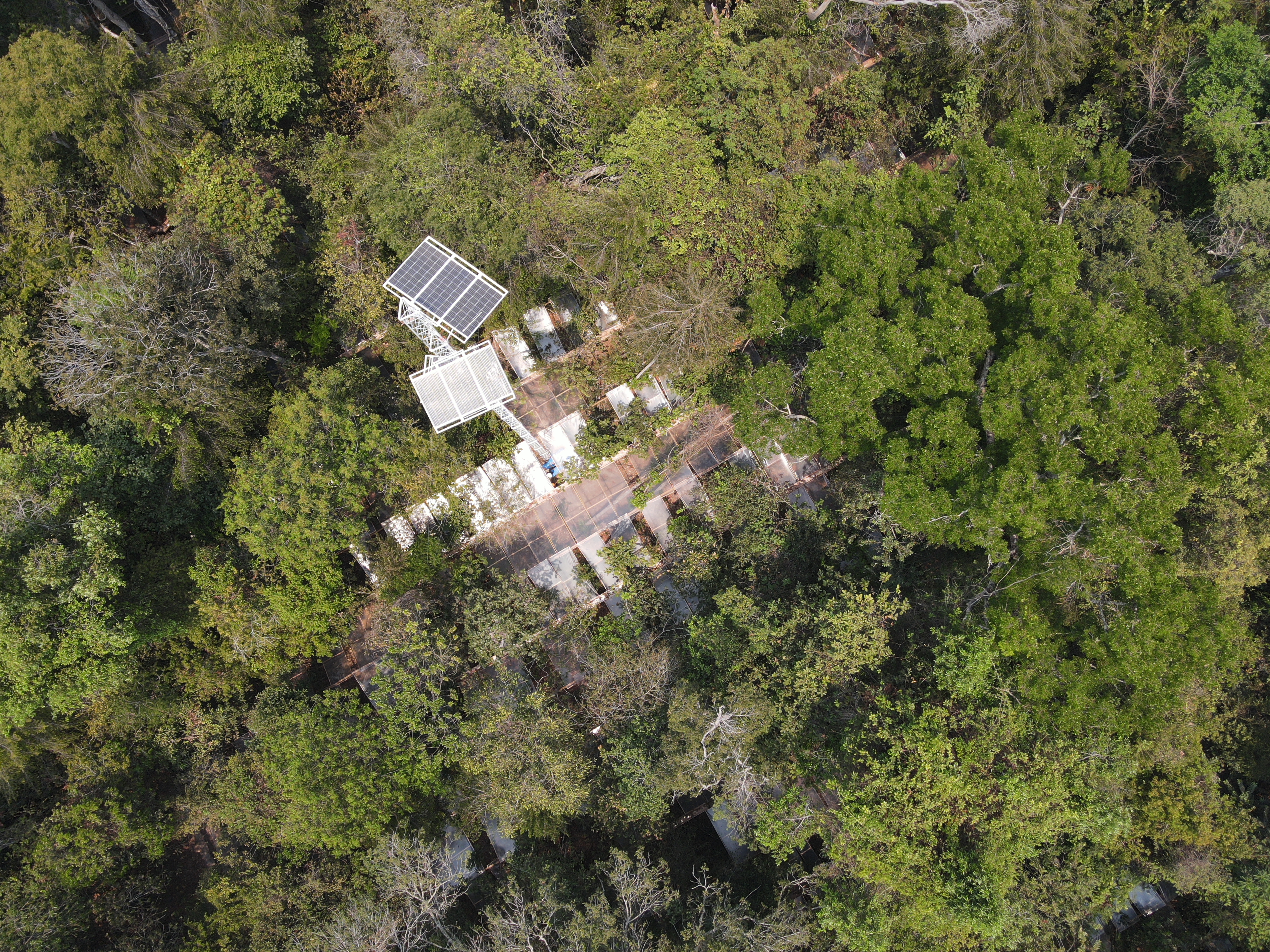
The large-scale experiment
The experiment is located at Fazenda Tanguro, in a
research area maintained by the Amazon Environmental Research Institute (IPAM), in the
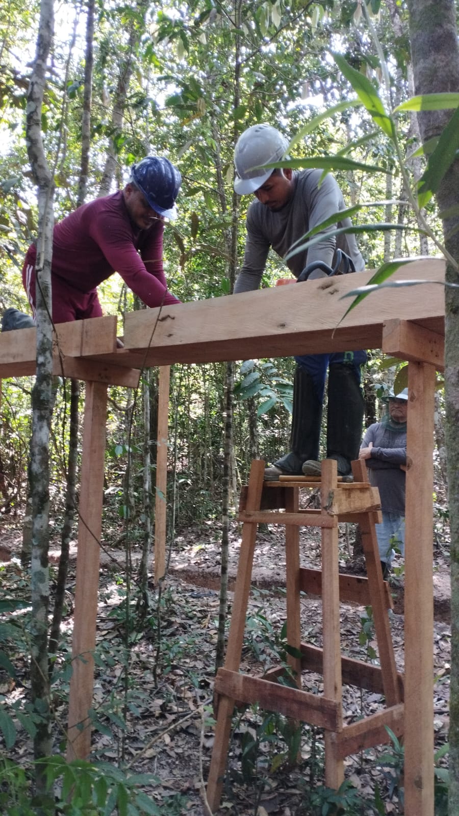
municipality of Querência, Mato Grosso. It consists of a 1-hectare (10,000 m²) rainfall
exclusion structure, and a nearby control plot of the same size and with a similar species
composition. The experimental structure was built following the same design as two drought
experiments previously installed in the northern Amazon (in Tapajós and Caxiuanã) and
excludes approximately 50% of the rain that would reach the soil.
The experimental plots were installed in August 2023, but the rainfall exclusion began in
October 2024, after a period of baseline data collection. The
construction of the experimental structure took four months and was carried out by a team of
10 people, led by Prof. Antonio Carlos Lola da Costa, who also led the construction of the
Caxiuanã experiment. A team of five people is responsible for maintaining the experiment and
collecting scientific data.